Tourist Attractions in Jharkhand
Ranchi, the capital city of Jharkhand is a picturesque hill station still full of old world colonial charm. It is of special interest to those who are interested in anthropology for the Tribal Research Institute and museum is located here. It is well worth a visit for those who want to know more about the tribal life of Jharkhand.
On the outskirts of Ranchi lies the famous Tagore Hill, which is named after the distinguished poet Rabindranath Tagore. It is believed that he wrote a part of his famous literary work Gitanjali, and some other poems here.
The Kanke Dam is a delightful tourist spot that is regularly frequented by tourists. A few kilometers from it lies the famous 17th century Jagannath Temple.
Another interesting site is the War Cemetery, the smallest 'concentration' cemetery in India with a total of 708 burials. Located on the Ranchi - Hazaribagh road, it includes a soldier of the army of undivided India. The graves are well classified and deserve attention for some of the poignant epitaphs like "may some gentle hand in the far off land lay down a flower for us."
Mc Cluskieganj is a small village near Ranchi that evokes nostalgia as one gradually discovers that it was once popular with the Anglo-Indian community. It is a charming mix of the gauche and sophisticated.
The Betla National Park at Palamau is where the world's first tiger-census was conducted in 1932. The best time to visit it is between February and April. Wild animals like the sloth bear, wolf, wild boar, panther, tiger, gaur, Indian porcupine, chinkara, sambar, mouse deer, dhole (wild dogs), and pangolin can be spotted here as one drives through the dense sal and bamboo forests.
The Hazaribagh Wildlife Sanctuary is another important site in Uttarakhand. It is vying for a place in the international heritage list for its recent findings of rock paintings, caves, stone age tools and smelted iron slag that show a much early advent of the Iron Age than the theorized Chalcolithic age. Wild boar, sambar, nilgai, cheetal, and kakar can be sighted near waterholes at dusk here.
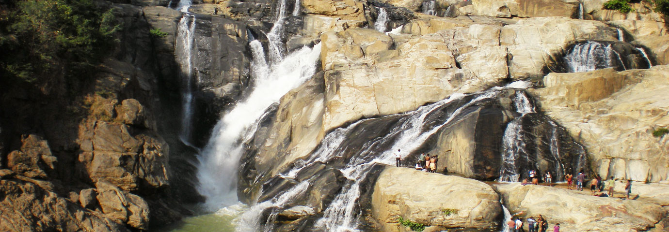
Netarhat is a beautiful sunset and sunrise point, a couple of hours from Betla. Rajrappa is famous for the "Ma Chhina Mastika" temple, where the River Bhera joins the Damodar, forming a 20 feet high waterfall. Boating facilities are available here.
Parasnath - the highest hill in Jharkhand, lies on the eastern margin of the Hazaribagh plateau. A site of religious significance, 20 out of 24 Jain tirthankaras or saints (including Parsvanatha) are believed to have attained salvation in the Sammeta Shikhar here. Several beautiful Swetambara and Digambara Jain can be found on the hills here.
Deoghar or Baidyanathdham is the most important Hindu pilgrimage site for the people of Jharkhand as well as Bihar. Lakhs of pilgrims visit this place on foot traveling for around 100 km during the month of Shravan to pay their reverence to Lord Shiva.